Pick up the new trail map that Mountain Trails Foundation released in July 2026 and you'll notice something that never quite added up before now: Summit Park doesn't live on one sheet of paper. The nonprofit's updated 2026 set splits Park City's trail system across two printed maps, and Summit Park shows up on both. The Old Town and Overview map traces the broader network from Bloods Lake down to Summit Park. Flip the Round Valley and Snyderville Basin map to its reverse side and Summit Park appears again, this time alongside Discovery Ridge, Glenwild, and Utah Olympic Park.
That's not a printing quirk. It's a fairly accurate description of how the neighborhood actually functions on a bike or on foot, and it explains a habit longtime residents already have without necessarily knowing why: people who ride out of the Innsbruck Strausse trailhead almost never end up on the same loops as people who park at Discovery Ridge, even though both trailheads say "Summit Park" on the sign.
Two Trailhead Clusters, Two Different Rides
The peak side of the neighborhood runs off old doubletrack and newer singletrack built by the Snyderville Basin Special Recreation District, better known locally as Basin Recreation. According to the district's own trail listing, the named routes here are short and stacked close together: Grease Mark runs 0.6 miles as a hiking-only intermediate trail, Over Easy covers 2.4 miles rated difficult, Road to WOS climbs 2.9 miles as a multi-use intermediate route, and Short Ribs and Side Order each clock in at 0.4 miles. Short Stack, another multi-use intermediate trail, adds 1.2 miles that riders typically use to link into the Road to WOS loop.
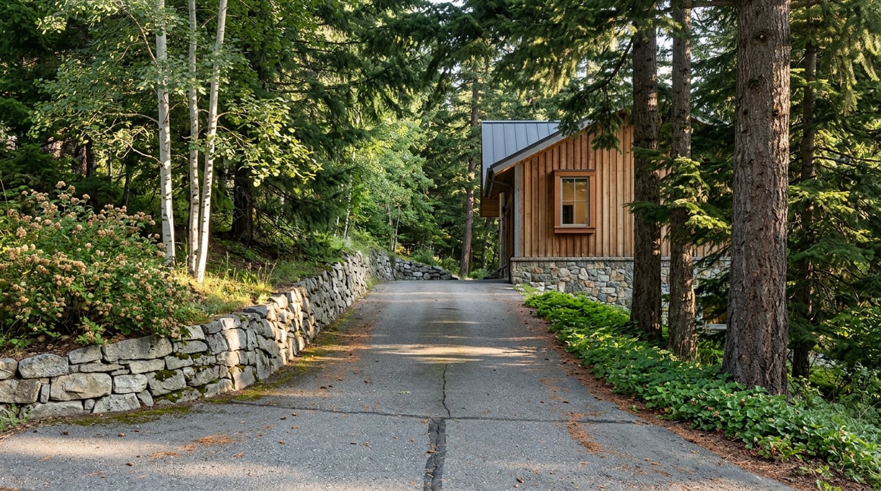
These trails start from tight residential trailheads. The main access points, Matterhorn Drive and Innsbruck Strausse, sit at the end of steep neighborhood streets with a handful of designated parking spots and no facilities. If the small lot fills, the guidance from trail users is consistent: don't park along the street, adjust your plans instead. That's not a complaint about the neighborhood. It's just an accurate description of what an evening ride here looks like in August: park in a tight spot on a residential road, climb a set of switchbacks through fir forest, and be back down before the lot fills up again for the next person.
Discovery Ridge is a different experience entirely. Reached from the Summit Park exit via Kilby Road and then Discovery Way, this trailhead has actual bathrooms and running water, a detail that matters more than it sounds like it should once you've ridden both sides. From here, riders link A Toll New World to Toll Canyon Road, then climb the No Worries trail, a 2.1-mile, 800-vertical-foot connector with a few jagged limestone switchbacks, before joining the upper end of Road to WOS. A simple out-and-back lariat between Discovery Ridge and Road to WOS runs around 16 miles with roughly 2,600 feet of climbing. Compare that to Short Ribs at 0.4 miles and the scale difference between the two sides of Summit Park stops being subtle.
In a TownLift report, Mountain Trails Foundation resource manager Ian Hartley described the purpose behind the new maps this way:
"With so many options, the maps make it easier to develop routes, providing a perspective far more expansive than a phone screen."
That's a fair summary of what the maps actually reveal. A phone screen shows you the trail directly under your tires. A printed map shows you that Summit Park isn't one trail system with two access points. It's two systems that happen to share a name.
The Canyon Between Them Has Its Own History
Between the peak trails and the Discovery Ridge network sits Toll Canyon, a 781-acre protected open space managed by Basin Recreation. The name isn't decorative. The canyon takes it from the Golden Pass Toll Road, built between 1848 and 1850 under Parley P. Pratt, which ran a route close to today's Interstate 80. Long before that, Basin Recreation's own history of the canyon notes that Ute tribes used the area as hunting ground because of its abundant wildlife.
Today the canyon functions as the connective tissue between Summit Park's two trail clusters. The Toll Creek Trail runs along the canyon floor through aspen groves and riparian forest, and it's the piece that makes a Discovery Ridge to Road to WOS lariat possible without backtracking down someone's street. Riders who've used both halves of the neighborhood's trail system for years tend to treat Toll Canyon as the seam, not a separate destination. It's on the map for a reason.
What Changed This Summer
None of this changes the fact that 2026 has been a dry year in Summit County. Effective June 26, 2026, Summit County moved to Stage 2 Fire Restrictions for all unincorporated and state lands in the county, which includes Summit Park. The order is specific: no open fires of any kind, including established fire pits, charcoal grills, pellet grills, or any other ash-producing fuel. Devices that run on pressurized liquid or gas, like a propane grill or camp stove with a working shut-off valve, are still allowed as long as they're used at least three feet from anything that could catch, meaning grass, pine needles, or dry brush. The restrictions also carry over the Stage 1 rules on fireworks, tracer ammunition, exploding targets, and operating small engines without a spark arrestor.
That order is still posted as active on the county's alert page as of this writing in August 2026, which means the trails themselves remain fully open for riding and hiking, but the backyard grill has quietly become the more restricted activity of the two. It's a strange contrast if you think about it: you can climb No Worries into Toll Canyon on a Tuesday evening without a permit, but the fire restrictions still apply when you get home.
One more rule worth knowing if biking is part of your routine: Basin Recreation prohibits e-bikes on Summit Park's single-track trails, with exceptions only for riders on a Class 1 e-bike who are 65 or older or who have a mobility disability. On a network built mostly from narrow, switchback-heavy singletrack like Grease Mark and Short Stack, that rule shapes who you'll actually see out there on a given evening.
The Map Was Always Telling You Something
None of this is really about cartography. It's about the fact that a neighborhood can carry one name and still function as two distinct places, each with its own trailhead culture, its own scale, and its own rhythm. Summit Park's peak side is tight, residential, and steep. Its Discovery Ridge side is bigger, better equipped, and built for longer days. Toll Canyon, with its toll-road history and its 781 protected acres, is what actually connects them.
The new maps didn't create that split. They just finally drew it accurately, on paper, for the first time since the trail system reached its current size.
If you're a longtime Summit Park resident, none of this changes your evening ride. But it might change which trailhead you start from next time, and it's the kind of detail that only shows up once you've spent real time on both sides of the neighborhood.
Pack | Fey spends enough time on both sides of Summit Park to know the difference between a Matterhorn Drive evening and a Discovery Ridge one. If you're a neighbor and ever want to talk trails, or eventually want a straight read on the local market, we're an easy call away.
This article is general information, not legal, tax or financial advice. Consult a qualified professional about your situation.